East Fork Chavez Falls

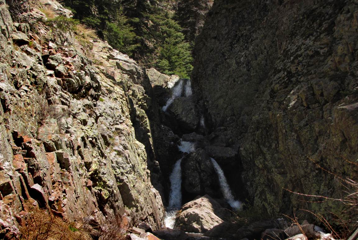
A 40’ falls pours over solid
bedrock in the lower end of the East Fork’s Upper Gorge
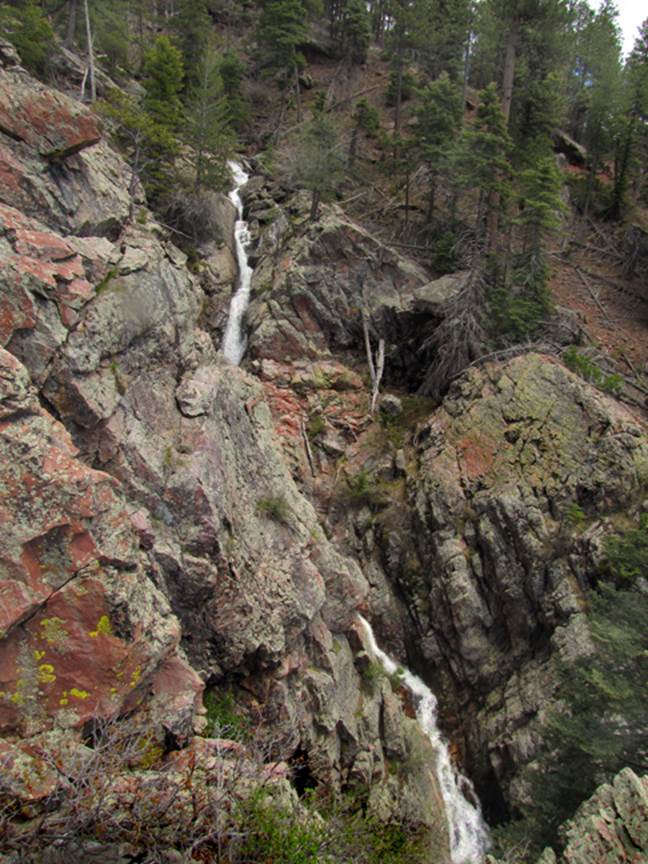
This photo shows
a 40’ falls exiting the East Fork Lower Gorge
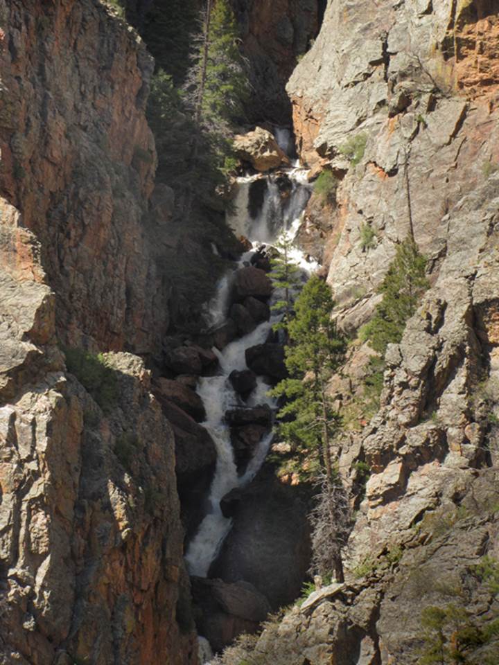
This is a 250’ high
section of the 700’ foot high, continuous waterfalls thru the East Fork’s Lower
Gorge
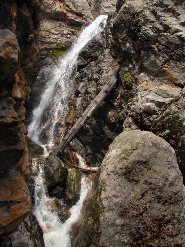
The above photo
is of the upper-most East Fork waterfall pouring into Upper East Fork Gorge
from above
The falls in the
photo above are among the lower falls of the mainstream of Chavez Creek
beta facts:
name- East Fork Chavez Creek
elevation- Upper end of the Upper Gorge: 9700’ down
to the lower end of the Lower gorge at: 8200’
GPS coordinates- ±°.’N °.’W
season- mid May to mid june
is best, but it is hike-able into October
ownership- private land
access- by permission only
Send questions and
comments to art@DougScottArt.com